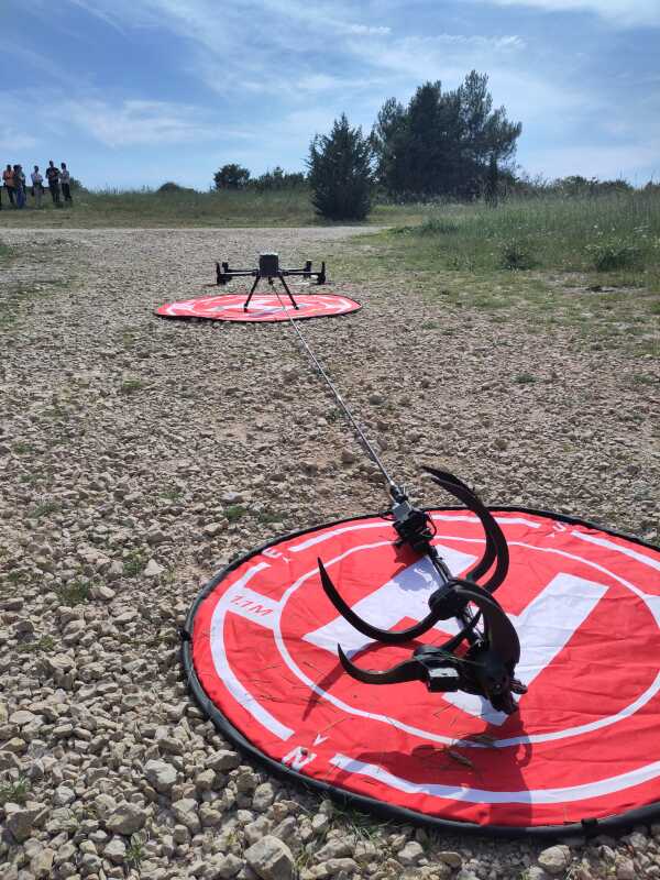
I’m happy to have taught and coordinated another session of the Remote Sensing for Plant Health course for the EU Better Training for Safer Food initiative. This year the course featured a stronger UAV (drone) focus, with extensive hands-on demonstrations of aerial sampling of plant material, automated missions and hyper-spectral hardware setups.
In addition, the basic theoretical background of remote sensing was provided including an understanding of the physics of the electromagnetic spectrum in the visible and near-infrared and its relation to vegetation indices. These concepts were applied to both satellite and UAV data collected or downloaded during the course in geographic information system (GIS) software.
Finally, we discussed remote sensing project, and UAV mission, planning. This included both the opportunities, uncertainties, and practical trade-offs of the chosen data. Big thanks go out to my co-mentors Mariusz Kacprzak and Nikola Zorić, and the supporting training organizers from OPERA.